Navigation to the Aeolian Yacht Club
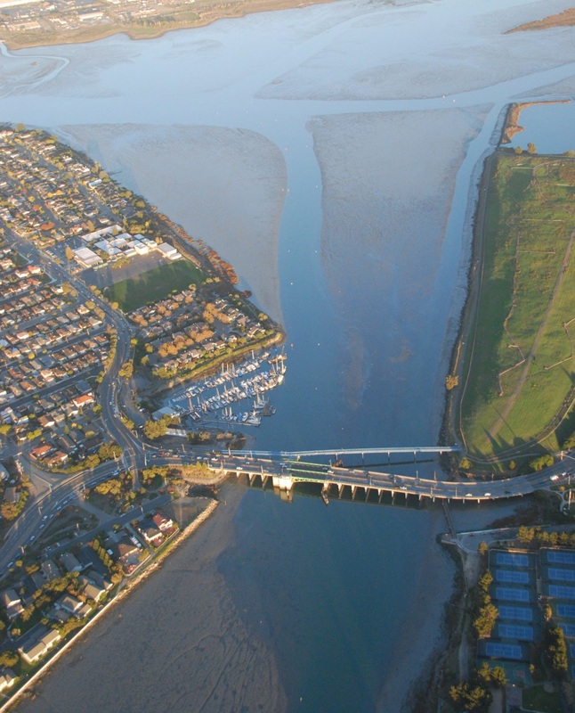
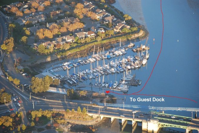
Approach from San Leandro ChannelView Facing East (Negative Tide)Guest Dock |
Note: The Aeolian YC and its members provide these instructions as a guide and take no responsibility for errors in publication, or bathymetric changes to depths and bottom contours over time. Use these instructions at your own risk.
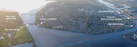
Instructions through the Oakland Estuary route to the Aeolian Yacht Club 1. Since the channel is 5 ft at a zero tide, the following is a minimum depth chart recommended for easy passage through this route:
3. After passing through the third bridge, the High Street bridge, there will be a large green marker "G1" on a steel piling which you will leave to your Port side [N37deg 45.531' x W122deg 13.437']. 4. Head on a 165 deg course direct to the Oakland Airport Tower off in the distance. 5. Follow the route indicated from the navigation chart. Instructions through the San Leandro Bay Channel route (A.K.A. Bay Farm Island approach) to the Aeolian Yacht Club Note; there are presently no USCG or private navigation aids on station in the San Leandro Bay Channel approach from the SF Bay. 1. Since the channel is 4.5 ft at a zero tide, the following is a minimum depth chart recommended for safe passage through this route:
Marina Layout |


